Though I’ve often been to “Italian Beach” in southwest Cheung Chau, and several times up on the headland just east of the inlet, it took a bit of prompting and curiosity from my son, David, to help encourage a bit of further exploring.
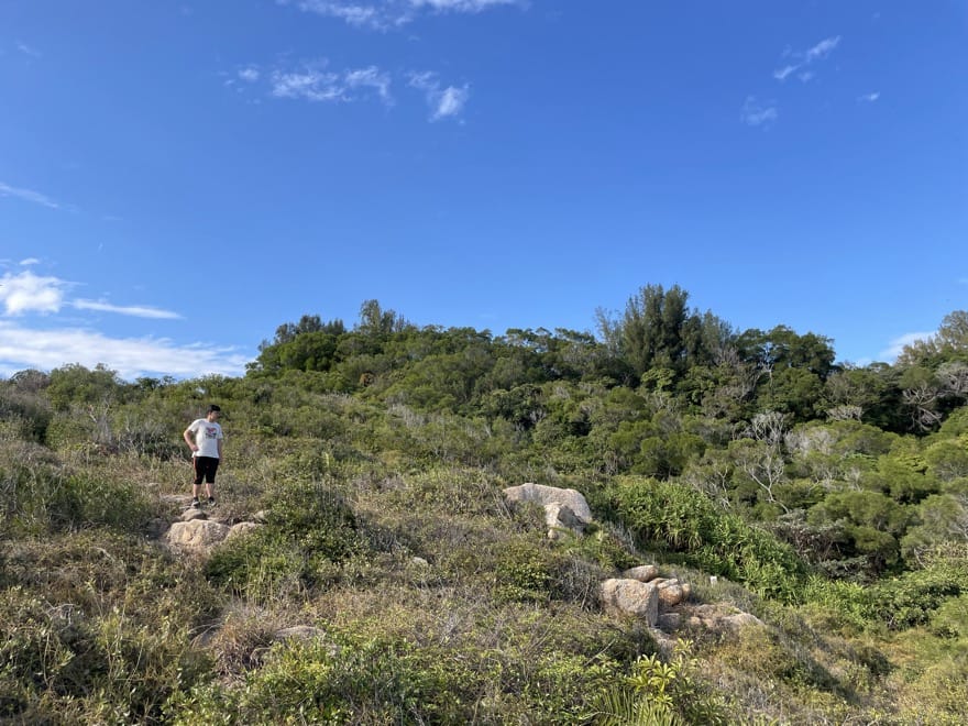
First, up to the headland, arriving just north of a steep gully that’s been sliced into it; polystyrene pieces littered the ground at the top – as reminder of the ferocious waves from Typhoon Mangkhut, which must have left this debris here after fairly exploding up the gully.
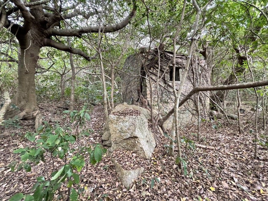
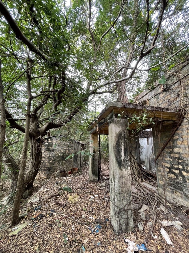
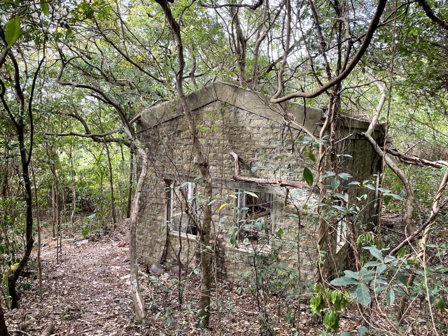
Returning towards the beach, a lower path looked interesting; David had a look, reported there was a ruined farmhouse, so I joined him in checking this out.
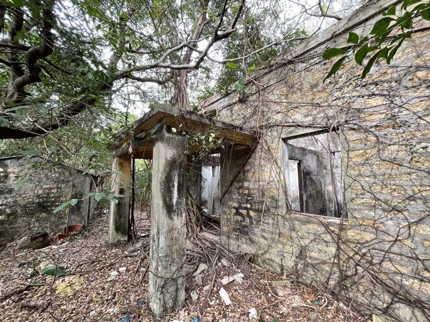
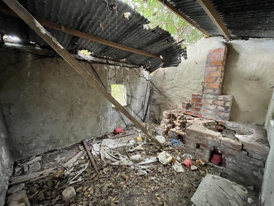
This proved to be a solidly built old farm, ruined and now amidst woodland, but with walls intact, and an outhouse that had served as a kitchen, along with some other structures like old pig pens.
There was a path up from here; though it seems we never see people here, it looked well used, with small trees neatly sawed though in places to keep vegetation at bay.
Instead of making straight for the cemetery and road above, as I guessed, this led to a path leading to the right – east – above the rocky clifftop.
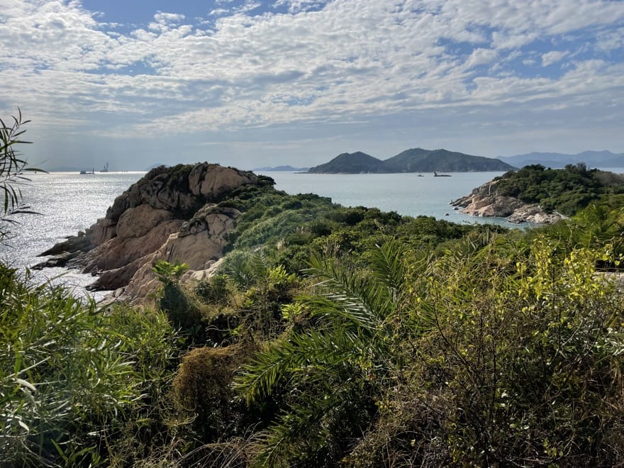
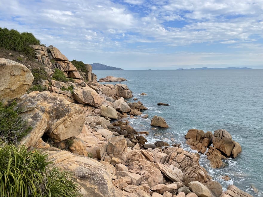
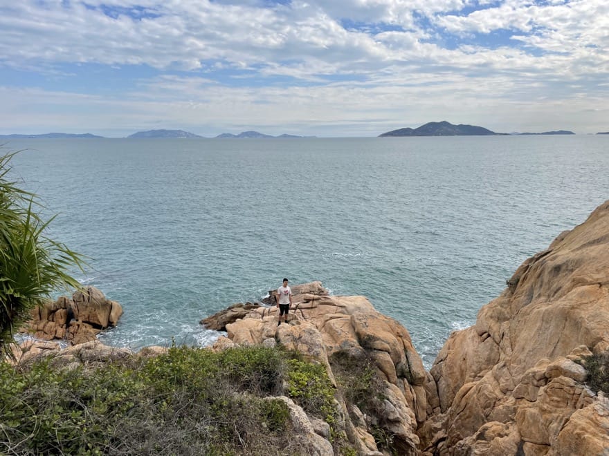
There were some fine views from here.
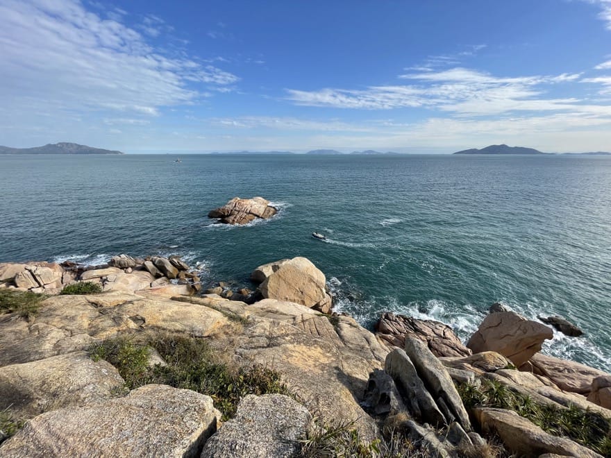
On this clear afternoon, there were impressive views to the Dangan Islands south of Cheung Chau.
There as a place with a rough path dropping down to the rocks, with a rope to help negotiate a steep stretch: maybe used by fishermen?
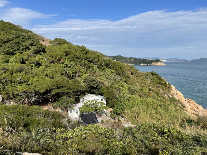
The path above the cliff ended above a small valley, with a white farmhouse hidden away from the rest of the world. This looked maintained, though couldn’t tell if still lived in.
From here, the rough path turned up through scrub on the hillside, eventually arriving at the cemetery ]had to clamber over metal fence here].
